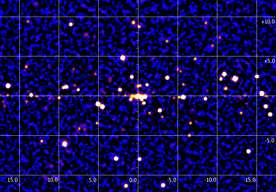
INTEGRAL/IBIS 7-year map of the Galactic Bulge

Date: 11 August 2010
Satellite: INTEGRAL
Depicts: Galactic Bulge
Copyright: Roman Krivonos (RSDC, Moscow, Russia, and MPA, Garching Germany), Astronomy Letters, 2010 in press
Last Update: 1 September 2019
